
Start a Reading Street Directory Search
Begin with the exact address, not a person’s name. Reading keeps several address-keyed records, but each answers a narrower question. Assessment identifies an assessed owner and parcel. The map identifies the physical parcel. Registry documents connect people to a dated land transaction. Election and local-history sources can add a person or past household only through the rules and coverage of those records. That separation keeps a Reading street directory search accurate when a property owner, mailing recipient, and historical address entry are different people.
- Enter the address or street in Reading Assessment’s Patriot Properties search. Capture the assessed owner, location, and parcel ID.
- Use the parcel ID as the bridge. It is more dependable than a loose street-name match, especially when an old record uses a prior tax-map reference.
- Open Reading MapGeo, run Property Quick Search, and inspect the parcel shape and the addresses around it.
- Search the property or owner in Middlesex South MassLandRecords. Compare the deed’s legal description, plan references, and recording date.
- For an individual voter, use the state status tool; for an existing local voter record, ask Reading Elections. For older address entries, use a library directory or newspaper source rather than guessing from today’s assessment record.
The key is to label each result. An assessed owner is not automatically a current resident, and a historical directory line is not proof of a present connection.
| Record | What It Shows | Search Key | Access |
|---|---|---|---|
| 2025 Street Listing | Location, assessed-owner fields, parcel ID, value, NBC, LUC, and area | Street or location | Official PDF |
| Patriot Properties | Assessment property and owner context | Street Name, Owner Name, or Parcel ID | Free public search |
| MapGeo / ArcGIS | Parcel geometry, easements, and town-boundary context | Address, Property Quick Search, or map click | Free viewer and service |
| Middlesex South Registry | Deeds, plans, mortgages, releases, and party roles | Property, party, town, date, book, or document | Free images; certified copies have a fee |
| Voter or historical source | Record-specific registration or dated address evidence | Individual fields or address/year | Election request or library route |
Reading Street Listing: Current Parcel Fields
The 2025 Reading Street Listing is the practical browse route when a dynamic search is awkward. It runs 216 pages and lists Location, Current Total Value, Owner1, Owner2, Parcel ID, NBC, LUC, and Area. Search within the PDF for the street spelling, then carry its parcel ID into MapGeo and the Registry. The listing is tied to FY2026 assessment data reflecting ownership and assessment changes as of January 1, 2025. It is valuable for seeing the address pattern along a street, not for producing a complete household list.
“Location” is the situs, meaning the physical property address. Owner1 and Owner2 are assessment fields. They should be described as assessed owners, because the fields do not establish every person connected with an address. NBC and LUC are assessment codes, while Area and value add property context. A result with no second owner field is not evidence that only one person has a relationship to the address.
Note: Preserve the listing date and the PDF page with a search note, because assessment and ownership fields can change after publication.
Reading Street Property Search Fields
Patriot Properties is Reading’s current assessment route. Its three entry points are intentionally simple: Street Name for browsing an address line, Owner Name for a known assessed owner, and Parcel ID for a known map/parcel reference. The page advises using the first few letters for the name routes and then selecting GO. When the street result is broad, open individual property details instead of assuming that a shared street label indicates one continuous parcel sequence.
| Field | Type | Use in a Reading search |
|---|---|---|
| Street Name | Text / typeahead | Enter the first letters of a Reading street and select GO. |
| Owner Name | Text | Search an assessed-owner field with the first letters when needed. |
| Parcel ID | Text | Enter the map/parcel number, then follow the detail result. |
| GO | Button | Runs the selected search route. |
Reading Assessment’s FY2026 view complements, but does not replace, the Registry. The assessment record supplies the current parcel context; a recorded document supplies the legal transaction and its recording history.
Map a Reading Street with MapGeo
Reading’s MapGeo parcel viewer starts with Property Quick Search and then lets a researcher work spatially. Use it to confirm where a street segment lies, click the target parcel, and compare the shapes immediately beside it. MapGeo supplies map context; the assessment database remains the owner and value route. The companion ArcGIS parcel service makes the available layers especially clear: Parcels, Easements, and Town Boundary, with Identify, Find, and Query operations.
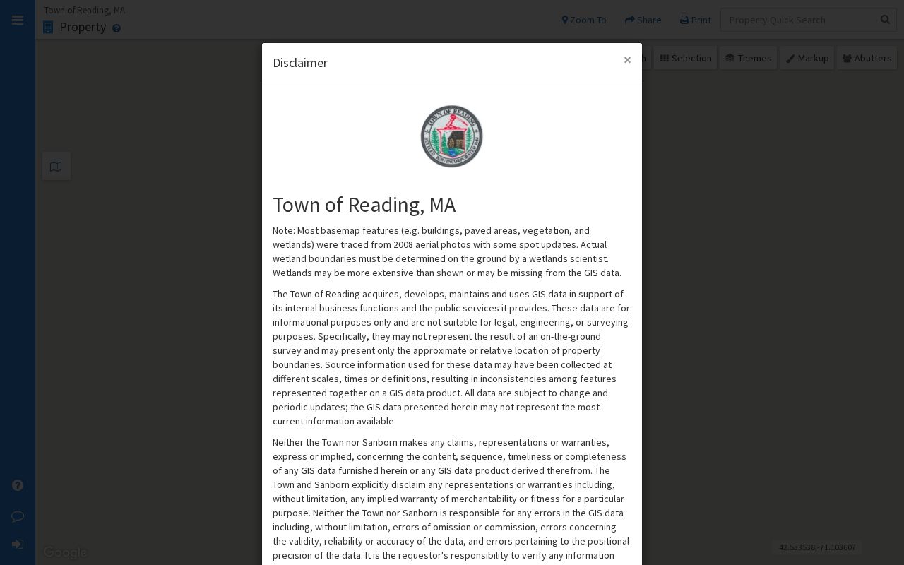
The viewer helps distinguish a neighboring parcel from a nearby address on the same street. An easement can touch a parcel without representing a separate address. Town Boundary context also matters near North Reading, Wilmington, Woburn, Stoneham, and Wakefield.
For a Reading street directory search, keep the target address, parcel ID, map result date, and whether the geometry is adjacent, across the street, or merely nearby. That prevents a map result from becoming an unsupported statement about a household.
Reading Deeds Behind a Street Address
Middlesex South Registry of Deeds is the regional custodian for Reading land records. In MassLandRecords, start with Property Search when an address route works, then narrow with Reading as the town, a party name, document type, and a recorded-date range. The system covers Recorded Land, Registered Land, Plans, and Registered Land Plans. A street number may not appear in every result, so compare the legal description, plan, book/page or document number, and parcel context before treating a document as the right property.
The Middlesex South deed index can be searched, viewed, printed, and downloaded free at the inspected portal. Its useful routes include property, name, document, book, and date searches.
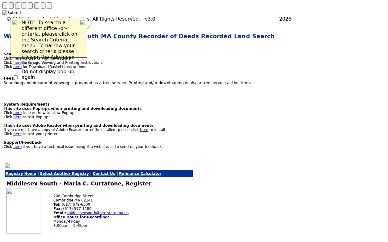
Use the image result to inspect the party role and record placement, then retain the official book/page or document reference. The Registry says a broad search returns the first 1,000 rows, so town, document type, and dates matter. A certified copy is different from a free view: the stated charge is $1 per page, while a registered-land certificate costs $5.
Note: Check Recorded Land, Registered Land, and Plans when a deed or title reference points beyond the default recorded-land result.
Reading Parcel Terms Explained
Address records use several labels for related but different things. Reading’s abutters materials are a useful reminder: the physical location, an owner’s mailing address, and the map parcel are all separate fields. Define them before comparing a tax record with a deed or a dated directory entry.
- Parcel
- A mapped unit of land identified by a Reading parcel or map/lot reference.
- Situs address
- The physical property location, shown as Location in Reading’s street listing.
- Plat or plan
- A recorded land drawing that can show lot lines, subdivision layout, and adjoining land.
- Criss-cross directory
- An address-oriented directory arrangement used to connect a street location with an older entry; a continuous Reading run was not verified.
A mailing city or ZIP can differ from the parcel’s situs. Treat it as a record field, not as proof that the mailing recipient is at the Reading address.
Reading Abutters and Permit Records
Address-based permit files can explain why a neighboring parcel appears in a project record. Reading directs permit applications to OpenGov. Demolition work requires a 10-day wait after certified-mail notice to abutters, and Assessing supplies the abutters list. Existing files may contain a permit card, inspection material, a homeowner or applicant affidavit, a final-cost affidavit, or an abutters notice. The portal’s live field options were not verified, so use an exact address, permit number, or date range rather than assuming a universal search filter.
When a document is not posted, request a named existing item through Reading’s Records Access Officer process, not a newly compiled roster. The municipal Public Records page accepts written requests through its listed channels, including recordsrequest@readingma.gov. A request can identify the parcel, document type, and period. It may be narrowed or redacted under Massachusetts Public Records Law rules.
FY2010’s Reading Parcel-ID Shift
Reading renumbered all tax maps and lots in FY2010 to support new financial software and simplify numbering. This is a parcel-reference change, not evidence of a townwide street-number change. An old tax list, plan, or directory note can therefore use an identifier that does not look like the current Patriot parcel ID even when it concerns the same land.
Bridge the gap with the legal description, recorded plan, lot shape, and adjacent parcels. The Registry’s property and plan searches are stronger evidence than forcing a historic map/lot number into a current field. No official source inspected established a townwide Reading street-renumbering year, so that claim should not be added to a street history.
Older Reading Street Entries
For a prior address connection, shift from today’s assessment record to the historical repositories. Reading’s directory evidence begins with the combined 1869 Stoneham, Wakefield and Reading directory, and the Massachusetts State Library lists later Reading runs through 1941. The Reading Public Library’s Local History Room, historical newspapers, yearbooks, and “Research Your Home” materials add other dated routes. Street abbreviations, town headings, initials, and spelling variants deserve a fresh search before a result is ruled out.
The exact continuous local criss-cross run was not verified. An address absence in a directory year is therefore a gap in that source, not proof that the property had no connection to a person. The historical shelf is handled in greater depth in the Reading Directory Book.
Note: Compare a historical address line with a deed, newspaper image, or census-era source before treating it as a complete household account.
Reading Street Directory Evidence
The strongest address trail uses sources in sequence instead of treating each as interchangeable. The street listing supplies a current browse view. Patriot supplies an assessment record. MapGeo locates the parcel. The Registry supplies a dated legal record. A specific Reading voter-file request may provide ordinary public voter fields under state rules, while the individual voter-status form requires first name, last name, date of birth, and ZIP and is meant for that voter’s own status check.
For block history, a dated directory or newspaper can supplement the land trail. For a whole street, preserve each source’s date and field label. This avoids turning an owner field into a claim about everyone at an address or turning an individual voter confirmation tool into a street roster.
Reading Records Requests by Address
Reading’s Public Records Law route is useful when a specific address record is held but not searchable. Identify the address, parcel ID, type of document, and a bounded time range. Examples include a permit card, recorded abutters list, inspection record, plan, or a local election-record request that the custodian can lawfully provide. The Town’s Records Access Officers cover Town departments and related local custodians; a general response is due within 10 business days under M.G.L. c. 66, §10, subject to the law’s extensions, fees, and exemptions.
Reading’s Town Clerk and Elections office are the local routing point for voter-record questions. Ordinary voter records can include name, address, party, status, and other stated public fields through the proper channel, but confidential voters and protected fields are excluded. Requesting a named existing record is both clearer and less likely to require the Town to create a new compilation.
Limits of a Reading Street Directory
No Reading street directory is a complete list of people at every address. Assessment data identifies an assessed owner. A permit may name an applicant or project contact. Voter records have statutory privacy limits, and the individual status form cannot bulk-search a street. Motor-vehicle personal-address information is restricted by the Driver’s Privacy Protection Act. Utility and delivery records are not a public people directory. A protected Address Confidentiality Program or confidential-voter record must never be inferred from a missing result.
Lawful use. Use Reading address records for a legitimate personal, family-history, property, civic, or scam-verification question. Do not use them to watch, harass, intimidate, or expose anyone, and do not try to defeat protected-address programs.