
Reading Neighbors by Parcel
For the immediate block, the useful question is usually which parcels touch or face the target parcel, not who belongs to a private household. Reading’s map, assessment, Registry, and local record routes give different pieces of that answer. Start with parcel geometry, then carry the parcel ID to assessment and a recorded plan or deed when needed. A public source may identify an assessed owner or a date-specific record, but neither establishes every person at a location.
| Source | What It Shows About a Block | Access |
|---|---|---|
| MapGeo / ArcGIS Parcels | Adjacent parcel geometry, easement and boundary context | Free public viewer and service |
| Reading Assessment | Assessed owner, location, parcel ID, and assessment context | Free Patriot Properties search |
| Registry plans and deeds | Lot layout, legal description, easements, and dated transfers | MassLandRecords and Registry routes |
| Reading voter record | Ordinary public voter fields where law permits | Local Elections request; protected fields omitted |
| Community contacts | Public join, contact, or member-business information | Organization or Chamber route |
Owner and mailing information are distinct from parcel location. A street listing or assessment result can be a strong property clue, yet it should not be presented as a list of all Reading neighbors. Historical directories and newspapers add dated context only when a specific volume or issue supports it.
Map Reading Neighbor Parcels
MapGeo and the supporting ArcGIS service provide Reading’s defensible adjacent-parcel method. Use Property Quick Search to locate the target, then identify the parcel and pan outward to the shapes sharing a boundary or directly across the street. The ArcGIS service exposes Town Boundary, Easements, and Parcels layers plus Identify and Query operations. It is a spatial record tool, not a prebuilt neighbors list. Check the Easements layer before treating every touching feature as a separate property.
- Find the Reading address in MapGeo and identify the target parcel ID.
- Click or query the parcels sharing an edge or immediately opposite the target, while noting easements and the town boundary.
- Take each selected parcel ID to Reading Assessment for its location and assessed-owner context.
- Use a Registry plan or deed only when the legal description, prior transfer, or subdivision boundary needs confirmation.
- For a project-specific relationship, request the existing abutters record rather than asking for a broad block compilation.
Reading’s ArcGIS parcel service is the source for the parcel-layer image below.
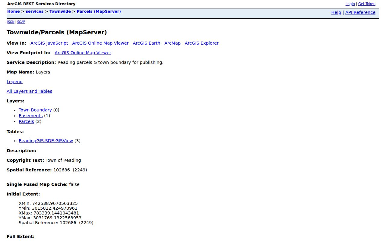
Geometry comes first, then records. That order prevents a same-street address from being mistaken for an adjacent parcel. For the full named-street record trail, use the Reading Street Directory.
Reading Neighbor Assessment Records
After the map work, Reading Assessment’s Patriot Properties search is the next route. It accepts Street Name, Owner Name, and Parcel ID. For block work, Parcel ID is the strongest handoff because it joins the map result to an individual assessment record. The public 2025 Street Listing is a second address browse source with Location, Current Total Value, Owner1, Owner2, Parcel ID, NBC, LUC, and Area.
The assessment information identifies an assessed owner and property context. It does not establish that every person associated with an address is present there. Mailing information in a record is also different from the parcel’s situs location. Record the page or result date because the FY2026 assessment data reflects changes as of January 1, 2025.
Note: Keep the target and adjoining parcel IDs separate in research notes, especially at corners where the street address may not match the side that touches the target.
Reading Voter Records for a Block
Massachusetts handles the state voter-status tool as an individual confirmation route, not a way to search a block. It requires a first name, last name, date of birth, and five-digit residential ZIP. A local voter-record request goes to Reading Elections or the Town Clerk under the Commonwealth’s public-access rules. Ordinary public voter information can include name, residential address, party, date of birth, active or inactive status, and voter ID, subject to protected-voter exceptions and the custodian’s current procedure.
Phone, email, veteran status, permanent-absentee status, confidential-voter data, and minor or pre-registrant information are withheld. A state-wide voter file is not a general public download, and the individual status form cannot perform a bulk address lookup. A missing result is not proof that a person has no Reading connection, particularly where confidentiality rules apply.
Reading Neighbor Plans and Deeds
Where a map boundary needs legal context, search Middlesex South MassLandRecords by property, town, party, date, book, or document. Deeds and plans can identify lot boundaries, easements, party roles, and a recorded transfer date. A legal description or plan reference is often more stable than a street number when a parcel has a complicated history. Search Result tabs may include Recorded Land, Registered Land, and Plans, so a single default tab should not settle the question.
For an active or historic project, an abutters list is a more exact local record. Reading’s permit process uses OpenGov, and demolition work has a 10-day wait after certified-mail notice to abutters. Assessing provides the abutters list. Request a specific existing list, plan, permit card, inspection, or affidavit through the relevant custodian or the Reading Records Access Officer when it is not posted online. A request for every person in an area is less precise and may seek a compilation the Town does not maintain.
Reading Neighbor Geography Records
Adjacent, same street, precinct, and ZIP describe different relationships. Adjacent means the parcels touch or directly face one another on the map. A same-street address can be much farther away. A precinct is an election area, while a ZIP is a postal label. Reading has eight precincts under the map effective in 2022, and 01867 is the ordinary Reading mailing ZIP located in official USPS material. Neither is a substitute for parcel geometry.
Use the parcel map for the block, the precinct map for election geography, and USPS for the delivery ZIP. A mailing city or postal label can differ from the legal municipality shown by a parcel. That distinction is especially useful near North Reading, Wilmington, Woburn, Stoneham, and Wakefield.
Reading Neighbor Community Contacts
No verified official townwide inventory of Reading neighborhood associations or HOA member directories was located. PAIR and Reading Neighbors Network are community-support contacts, not public membership rosters. The Reading-North Reading Chamber can identify participating businesses and public contacts, but it is a member business index rather than a complete neighborhood list. Treat each route as a way to find an organization’s published contact information, never as evidence about a private household.
| Community route | What it provides | Limit |
|---|---|---|
| PAIR / Reading Neighbors Network | Community-support contact and join routes | No public member roster verified |
| Reading Public Library | Local history, newspapers, and civic-history help | Not a current block roster |
| Reading-North Reading Chamber | Member business names, public contacts, and categories | Not an official or complete local-business register |
The Reading-North Reading Chamber directory offers Keyword, category, and alphabet controls for its member-business index.
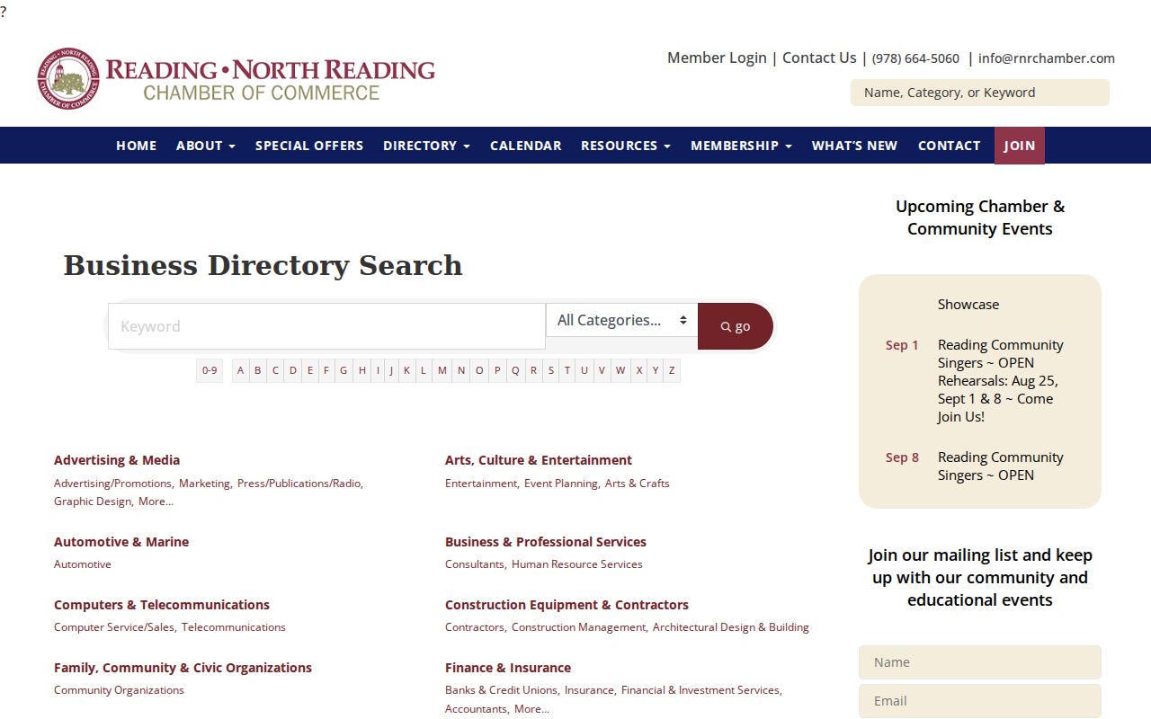
The Chamber image shows a public business-directory route. It can help distinguish a published business contact from a nearby residential parcel, but it does not identify all Reading neighbors.
Reading Neighbor Sources Compared
Official records and commercial neighbor tools serve different purposes. Parcel, assessment, and Registry records have a named custodian, a field structure, and a date that can be checked. Commercial services can combine old address material and public-record extracts, but may conflate same-name people, retain stale information, or omit protected records. Use official sources to verify a defined property question and avoid republishing unnecessary personal details.
| Source type | Best use | Important limit |
|---|---|---|
| Official parcel, assessment, and Registry records | Confirm a specific parcel, owner field, plan, or recorded document | Each field has a scope and date; it is not a household list |
| Commercial neighbor-lookup category | Potential lead to verify independently | May be stale, incomplete, or wrong; protected records may be absent |
Limits on Reading Neighbor Lookups
A parcel map does not disclose a private household. Assessment identifies an assessed owner, and a dated deed identifies parties to a property transaction. Neither source establishes every person at the address. Reading neighbors who use the Massachusetts Address Confidentiality Program or confidential voter registration must remain protected. Utility and delivery information, unlisted contact details, protected public-safety material, and confidential voter information are not part of a lawful block search.
The Massachusetts Address Confidentiality Program provides a substitute address and mail-forwarding protection for eligible participants. Confidential voter registration is separately protected under M.G.L. c. 51, including §51A, and confidential voters are excluded from ordinary public lists. Those safeguards make a careful Reading result narrower by design. They are not a gap to solve with parcel geometry, a mailing clue, a commercial listing, or a community contact.
The correct response to an absent or redacted record is to respect the limit, not to assemble hints from other sources. For a correction, ask the relevant custodian: Assessment for an assessment record, the Registry for indexing questions, Elections for voter records, and a Reading Records Access Officer for a municipal record. A block request should always seek the smallest existing parcel or project record needed for a legitimate question.
Lawful use. Use Reading parcel and community information for legitimate civic, property, family-history, or safety questions. Never use it to stalk, harass, intimidate, expose, or evade a protected-address program.